take-a-flight
Here's why...
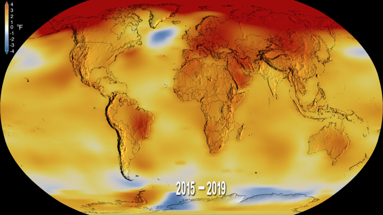
NASA's research isn't limited to explorations outside our world, this airborne data is collected in order to answer specific questions, research purposes and to address enviromental issues.
The data used to solve this issues is part of NASA’s Earth Science Research and Analysis Program, focused on investigations related to six areas:
- Atmospheric compositon
- Carbon cycle & ecosystems
- Climate variability & change
- Earth surface & interior
- Global water and energy cycle
- Weather
Our objective
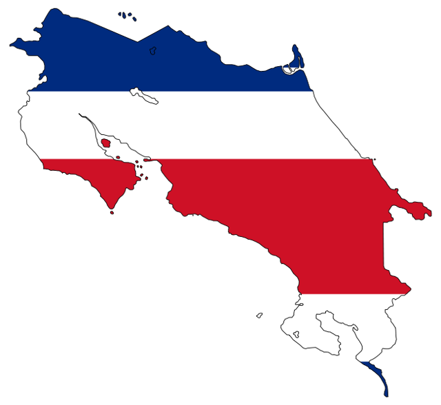
This one-page-web is intended to bring information about NASA's suborbital missions and how we take advantage of this data to do research in our country, Costa Rica.
About Atenea
With this in mind, let us introduce Atenea, wich is a powerful web page designed to provide real-time data of water quality of certain areas of Costa Rica, taking advantage of NASA's airborne data with a costarican touch.
But, you may be wondering how we're going to achieve this, so, this is going to be done by the replication of the research done by Fichot, C.G., J. Harringmeyer, and M. Weiser, for the mesurement of the water quality in the surface of the Atchafalaya River and Terrebonne Basins during the Spring, for Delta-X: In Situ Water Quality Indicators across MRD, LA, USA, 2021, Version 2.
This research is going to be done in Tarcoles River, the biggest river in Costa Rica, representing about 5% of its terretory, and also being the most polluted basin in Central America, because of years of waste dumping (garbage, plastic and wastewater). The current state of the river put in a dangerous situation all the endemic species of that area, like the american cocodrile and a considerable number of birds (about 50 different species).
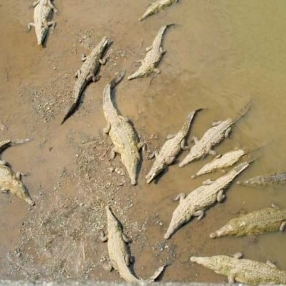
Unfortunately, it doesn't ends here. The river water flows into Guacalillo's mangrove, threating its quality to retain CO2 emissions. The disturbance on this mangrove wich plays a key role on climate change, represents a serious threath not only to Costa Rica, but for the entire region.
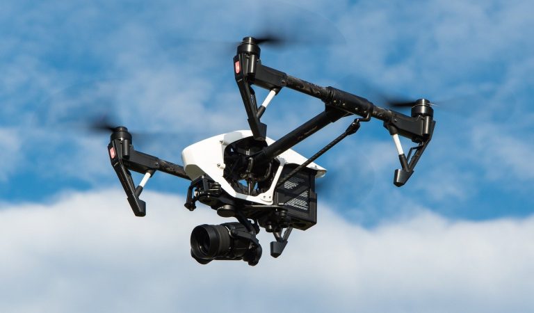
As a consequence Atenea is intendeed to bring and share information of data related to the current state of the river pollution. Our differential factor is the use of drones equiped with AI to monitor and capture data about the river and plastic waste on it, giving information about waste on the river.
The use of drones represents a substancial reduction on operation costs, its main objective is to provide airborne imagery, just as Delta-X. This combinated with in-situ mesurements, is going to provide data about the river as Costa Rica has never seen before.
In the same way, the in-situ mesurements are obtained with our data-collector buoy, equipped with all the necessary sensors to mesure the water pH, temperature, salinity, water turbidity and chlorophyll fluorescence.
Our bouy is fully-automated and designed to obtain data autonomously, taking advantage of the river water-flow, it uses IoT and Big Data to bring real-time information related to the current contamination levels of an specific point in Tarcoles River (using our drone imagery), to track and control the pollution.
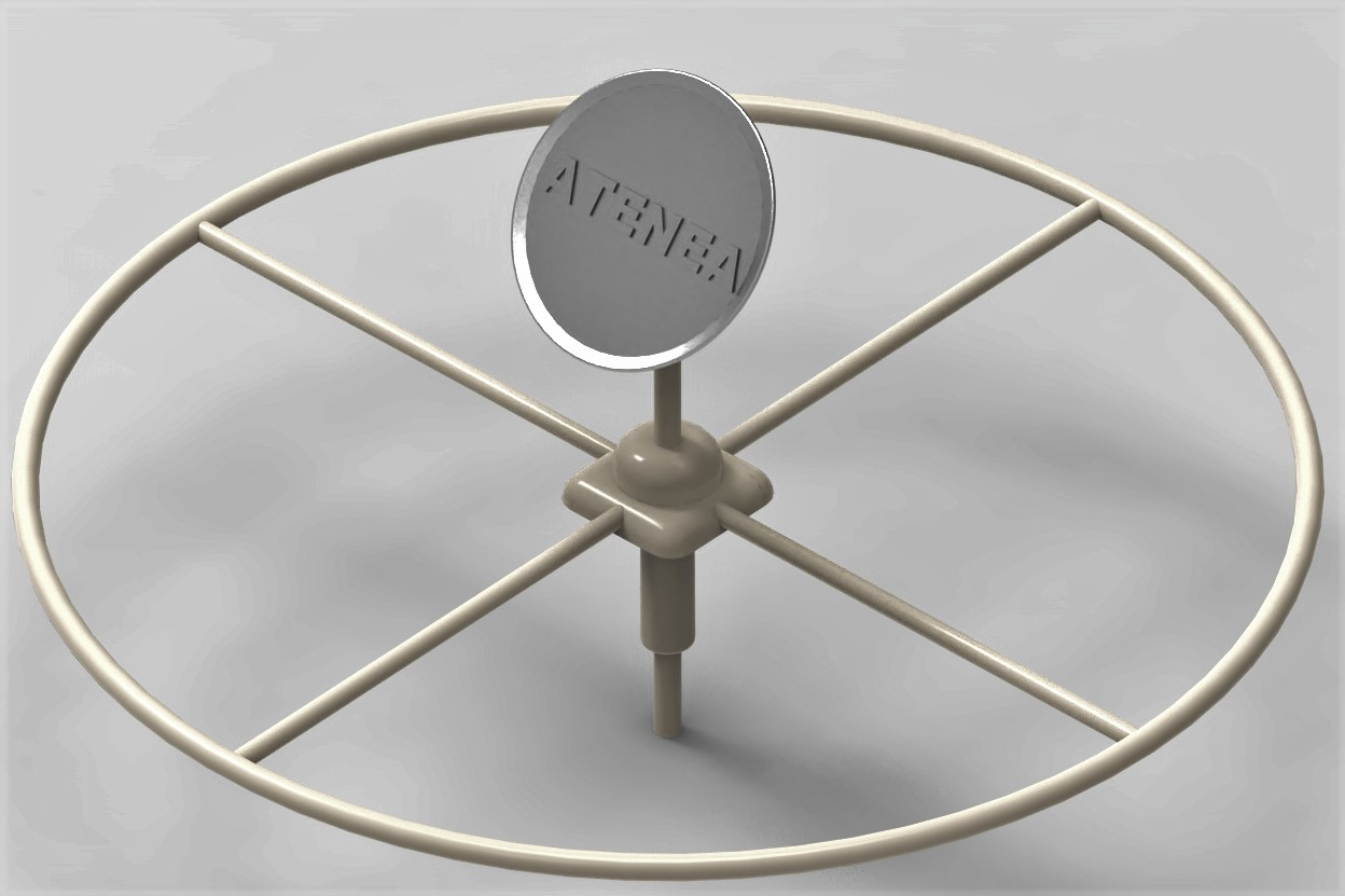
Please, look at our 3D model!
Atenea (version 0.0.3)
What are you loooking right now is an example of how the data is going to be shown.
Atena uses IoT and Big Data integrations to provide real-time information related to the current contamination levels of an specific point in Tarcoles River, to track and control the pollution.
The variables to be shown are:
The registered water collection points of the river.
Humidity of that point.
The water pH.
Water temperature.
And water turbidity.

ars et scientia
Made in Typedream